


Antelope Valley Watershed
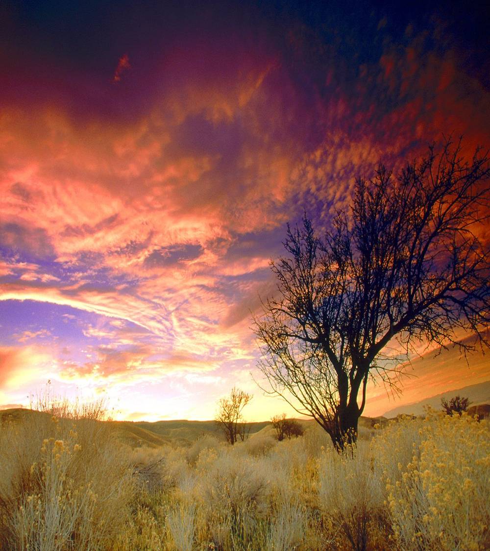
The Antelope Valley Watershed is geographically unique since it does not outlet to the Pacific Ocean. The watershed straddles the Los Angeles-Kern County Line and encompasses approximately 1,220 square miles within Los Angeles County, 2006 square miles in Kern County, and 143 square miles in San Bernardino County. Numerous streams originating in the mountains and foothills flow across the valley floor and eventually pond in the dry lakes (Edwards Air Force Base) adjacent to the Northern County line. The valley lacks defined natural and improved channels outside of the foothills and is subject to unpredictable sheet flow patterns.
Existing constraints include the LACFCD not serving the portion of the County north of Avenue S. Existing efforts include the Antelope Valley Integrated Regional Water Management Plan which aims to develop project concepts for areas within and outside the LACFCD boundaries, continuing to seek funding sources for the entire Region, and ultimately implementing all facilities identified in the Antelope Valley Comprehensive Plan (Amendment No. 1) (Amendment No. 2) of Flood Control and Water Conservation.
| Section Manager: | Julian Juarez Senior Civil Engineer |
| Area Map: | Antelope Valley |
| Watershed Size in Los Angeles County: | 1,220 square miles |
| Supervisorial District: | 5 |
| Senate District: | 17, 19 |
| Assembly District: | 36, 37, 59 |
| Cities within watershed: | Palmdale, Lancaster |
| Land Use: | 10% developed 90% undeveloped |
| Total Population: | 462,000 est. |